Route
Peru:
Lima
Cuzco
Inca Trail 1: Start (km 88)
Inca Trail 2: First camp
Inca Trail 3: Pass (4200m)
Inca Trail 4: Second camp
Inca Trail 5: Huinay Huayna
Inca Trail 6: Machu Picchu
Inca Trail 7: Machu Picchu
Inca Trail 8: Aguas Calientes
Cuzco - Puno
Lake Titicaca: Uros Indians
Arequipa
Nazca Lines
Chauchilla Cementary
Ecuador:
Cuenca
Quito
Lago Agrio
Cuyabeno Reserve 1
Cuyabeno Reserve 2
Cuyabeno Reserve 3
Cuyabeno Reserve 4
Cuyabeno Reserve 5
Banos
Cotopaxi 1: Camp at 3800m
Cotopaxi 2: Walk to the lake
Cotopaxi 3: Sunset
Cotopaxi 4: Camp at 4800m
Cotopaxi 5: Training
Cotopaxi 6: The Climb
Venezuela:
Merida
Pico Espejo
Canaima/Angel Falls 1
Canaima/Angel Falls 2
Canaima/Angel Falls 3
Canaima/Angel Falls 4
Choroni/Puerto Colombia
Morrocoy Islands 1
Morrocoy Islands 2
Morrocoy Islands 3
Morrocoy - Caracas
Peru 2001
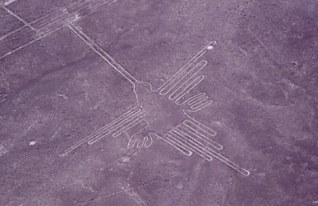
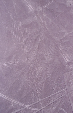
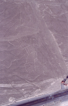
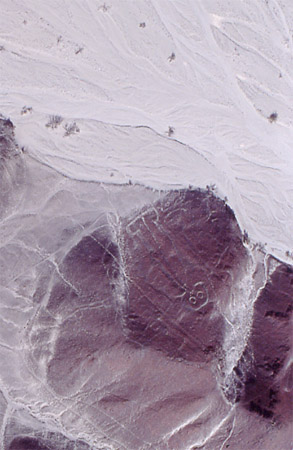
The Nazca Lines
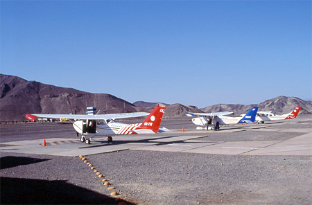
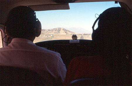
The airstrip of Nazca. Our plane (the one in the middle) is waiting for us.
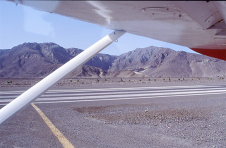
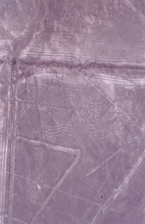
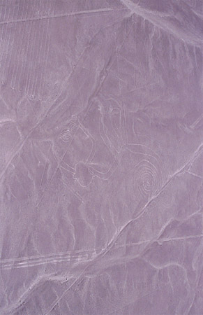
Starting for a flight over the Nazca lines. The Nazca lines are geometric
designs drawn in the desert. They are visible only from the air.
A humming bird.
A condor.
Hands (to see the proportion of the figure just look
at the street).
An "astronaut".
A spider.
A monkey (upside down).
Landing approach.
Alle Bilder & Webseite © Matthias Eisenmenger 2000 - 2001